radismukes
2250+ Posts
 Great Pic's I truly enjoyed my time riding some of the same roads.
Follow along with the video below to see how to install our site as a web app on your home screen.
Note: This feature may not be available in some browsers.
Great Pic's I truly enjoyed my time riding some of the same roads.Kevin and Mary, amazing pictures of your trip! Awesome country to be riding through! I love looking at Mary's pictures. They almost make it look we are riding along.
Enjoy your visit with Fuzzy tomorrow!
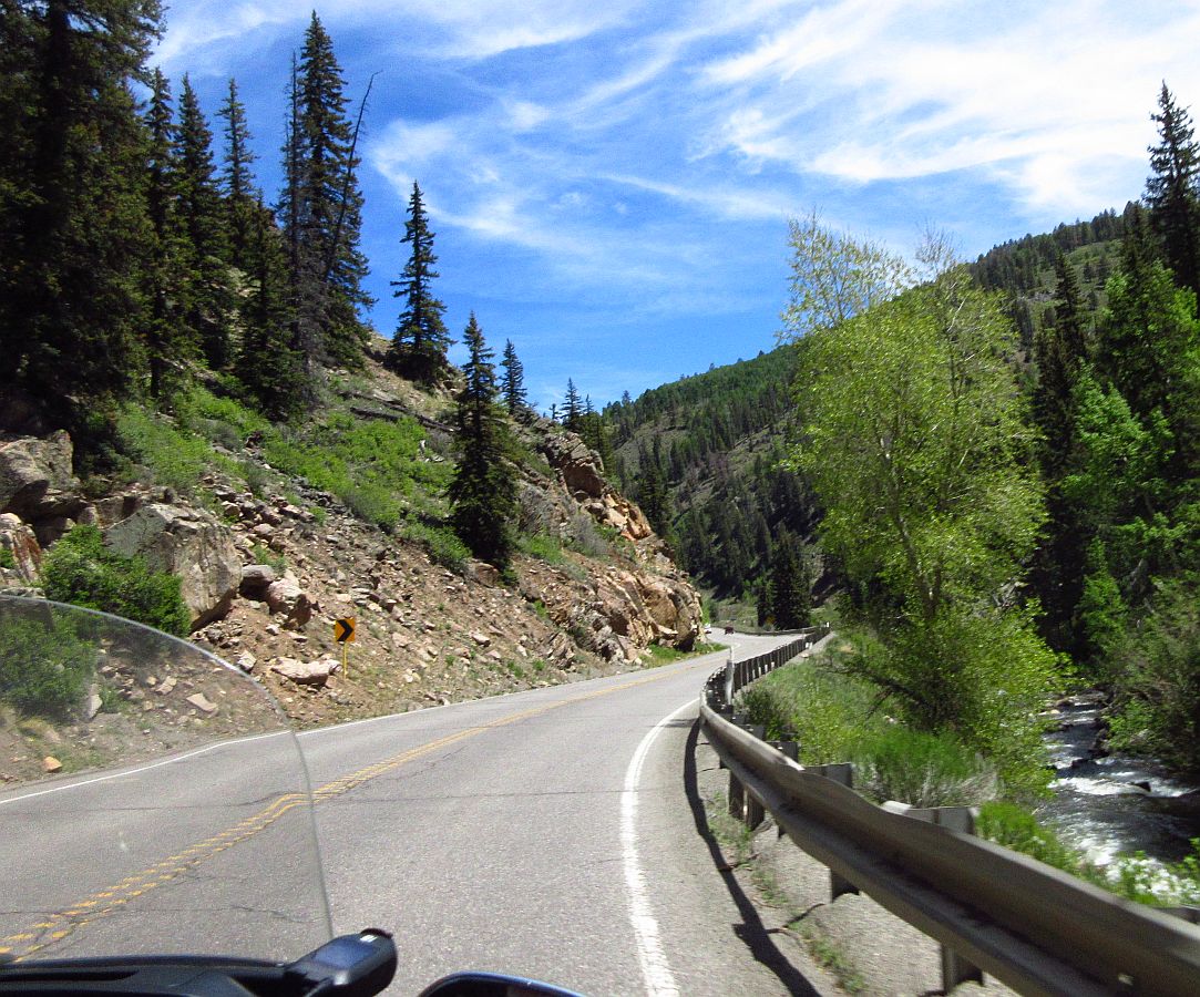
View attachment 58525Did y’all stop at Telluride? Love the Million Dollar Ride!!
:Agree: ThumbUp Thanks for sharing Kevin and Mary!!!


Great road & pictures. Sorry if I missed this, but have you seen any wildfires/smoke?
The trip from Montrose past Gunnison Over Monarch is one of my favorites.


 enjoying your posts, be safe :wave4:


That's some beautiful riding there...so a silly question from a Texas boy surrounded by flat land. What was that marker out on the lege of that rock overlooking the canyon representing? Sorry...I know


GPS mile marker. Surprised it still there as they end up as soulvineers!
Love the pictures Kevin and Mary. Thanks a lot. I followed your pictures to Alaska and back few years back on the 2011 trike and loved them.
Just wondering how you like your new tires? Doing a great job on your trip .Thanks and be safe..
Just curious Kevin. Have y’all rode to the summit of Mt. Evans? It’s the highest paved road in US. West of Denver on I 70. It’s got great views also.


Welcome to a community dedicated to the most diverse and fastest growing powersports segment, Motorcycle Trikes. Come join the discussion about the best makes and models, popular modifications and proven performance hacks, trike touring and travel, maintenance, meetups and more!
Register Already a member? Login