Pic Heavy Ride Report - MS to Bella Coola & Back 11,000 Miles Heat, Hail & Bears

Day 21 Continued.

We stopped at this place for lunch...it is pretty much the only place on the Icefields Parkway between Lake Louise and Jasper. We're getting a great 44 MPG, so did not need gas, but used the restroom and had our sandwiches.

22%20Lunch_zpszryl8qj1.jpg


Read some of the history of the place. Watched the tourists in their cages and tour buses.

21%20Lunch_zps11wkcnhk.jpg


Leaving out from our lunch spot, about 100 more miles of amazing road before Jasper.

23%20Leaving_zpsc3d02rjw.jpg


I have no idea how many millions of trees we've seen so far...it is a LOT!

24%20millions%20of%20trees_zps9wcwfvnh.jpg


Most of the snow is gone, but the glaciers are still feeding this huge waterway.

25%20waterway_zpsv4x98j9k.jpg


This is a fun road! We're spending most of our time in the 50-55 mph speed....

26%20Fun%20Road_zps6lyk9xtj.jpg


The road and TG can handle it at much faster, but we are already running a bit over the speed limit at 55, plus so there is so much to see!

27%20Fun%20Road_zpsoh6s3rnz.jpg


Can you see him?

28%20Do%20You%20See%20It_zps941w8l69.jpg


He seems a bit confused...

29%20Cant%20decide_zpsym2u4p5a.jpg


...we are on a bridge, and he walks out onto it...looks like he's got it figured out.

30%20Ok_zpspew9bblv.jpg


More in next post.
 
Day 21 continued.

NO! That is the wrong way. lol....eventually he figured it out.

31%20Uh%20Oh_zpsqlo52u42.jpg


Can you see how the road snakes around the side of the mountain?

32%20Can%20you%20See%20the%20Road_zps5ghjoqv2.jpg


One of the hundreds of waterfalls we've seen...

33%20Hundreds%20of%20waterfalls_zpsfr5lnpfx.jpg


...They come down and feed these streams, that eventually end up in the waterway to a lake.

34%20Water%20everywhere_zpskn1aags7.jpg


Today is the Trifecta of riding - Perfect weather, Fun road, Amazing sights!

35%20fun%20road%20weather%20beautiful%20trifecta_zpsyouwngim.jpg


Around every curve there are more trees, more streams...

36%20Everywhere%20you%20turn_zpsb9freswl.jpg


...more mountains, more glaciers.

37%20And%20more_zpszougshft.jpg


Here's a monster glacier, it comes almost all the way down to the road.

38%20Glacier%20almost%20at%20road_zps2fxw3niq.jpg


A different perspective-

39%20More%20Glaciers_zpsxddvxwbc.jpg


Down the road just a bit, on the other side....waterfalls.

40%20Waterfalls_zpsghlsbadu.jpg


Day 21 to be continued soon.

Kevin
 
Day 21 continued & concluded.

This pic was taken from on the road...not the side of the road, but on the normal part for riding on. Most of the road has guardrails in areas like this, but this section has been having some work done...no rails.

41%20On%20the%20road_zpsuwswxs9y.jpg


Endless views to the sides...

42%20Endless%20views_zpsvbc9pmwf.jpg


...behind us, and....

43%20Looking%20Back_zps4ycgc3ls.jpg


...in front of us.

44%20Looking%20ahead_zpse8w7tz2h.jpg


Interesting mountain formation.

45%20Amazing_zpsj6umhgxx.jpg


It's been sunny and in the 70's all day. It is still in the 70's, but we're riding into some clouds now.

46%20Getting%20cloudy_zps32vo2ou1.jpg


Last time we rode the Icefields Parkway we did not stop at Althabasca Waterfalls. This time we did.

We don't use our cable lock often, but this is a large parking lot, full of vehicles and people, and we are going to be gone from the bike for awhile.

The cable is running thru one of the arms of both jackets, thru both helmets, and thru the passenger grab rail.

Easy way to keep stuff from walking away.

47%20Althabasca%20Fall%20Dont%20use%20often_zpsbzylzn3w.jpg


WOWOWOW!

48%20Wow_zpsypfuru2n.jpg


This is a massive amount of water and power moving very quickly...just a few feet away from us.

49%20Different%20perspective_zpsczjvvijr.jpg


After going over the edge, it does not end up in some big pool....there is a narrow channel thru rock where it flow just as powerfully for quite a while.

50%20After%20over%20the%20falls_zpsrmpsxlb7.jpg


More in next post.
 
Last post to this amazing day in Canada.

Below is a short phone camera video of Althabasca Waterfalls- Click on the link to see it...sorry for the bad orientation.

http://vid1088.photobucket.com/album...psakvoh1lc.mp4

Cable lock coils right back up. When the newly designed Tour Pak came out I did not like the look...it has grown on me, and looks ok now....but what I really like is that it fits far more in it than the previous design. In this pic it may look full, but it has room for much more to be put in it.

51%20Packed%20back%20up_zpsn2fudquo.jpg


Leaving the Icefields behind...

52%20Leaving%20the%20Icefields%20Pkwy%20Behind_zpsjbxrjl5s.jpg


Getting close to Jasper, and definitely getting more cloudy.

53%20Getting%20More%20Cloudy_zpsb6zlyegj.jpg


We were getting a few sprinkles here and there the last 20 miles. A metric cruiser and a crotch rocket passed us at some speed. We continued on at our 55 mph, which is about 7 mph over the speed limit.

57%20Crotch%20Rocket%20amp%20Cruiser_zpsor2f36rt.jpg


Jasper! Last time we were here we had a bit of a difficult time finding a room...

58%20Jasper_zps0slhzryk.jpg


...so this is one of the few places that Mary had called ahead and made reservations. The Bear Hill Lodge. It is a bunch of very nice cabins...some smaller some larger...

59%20Bear%20Hill%20Lodge_zpsjetpihjv.jpg


...the one straight ahead is the one we stayed in. Very nice, and less than $100 a night.

60%20Cabin%20in%20Jasper_zps31bpmqkn.jpg


We unloaded the bike, and then went to the grocery store.

55%20Grocery%20Shopping_zpsqhfdayub.jpg


We are far enough north that it does not get totally dark at night. This pic was taken from the cabin porch a bit after mid-night.

56%201130pm_zpscxabhwjy.jpg


Kevin
 
Mary has a little point and shoot ... Fuji I think ... It's not the camera ... It's the gyrations she goes though to get the pics. Following behind them she looks like her seat is on fire ... hoping up, left, right ... pretty impressive to watch. :clapping::clapping::clapping:

GYRATIONS???

Fuzzy!! Shame on you!! (This is called being red-lettered, btw...:))

And Kevin--yet another awesome series of posts.

Just wow.
 
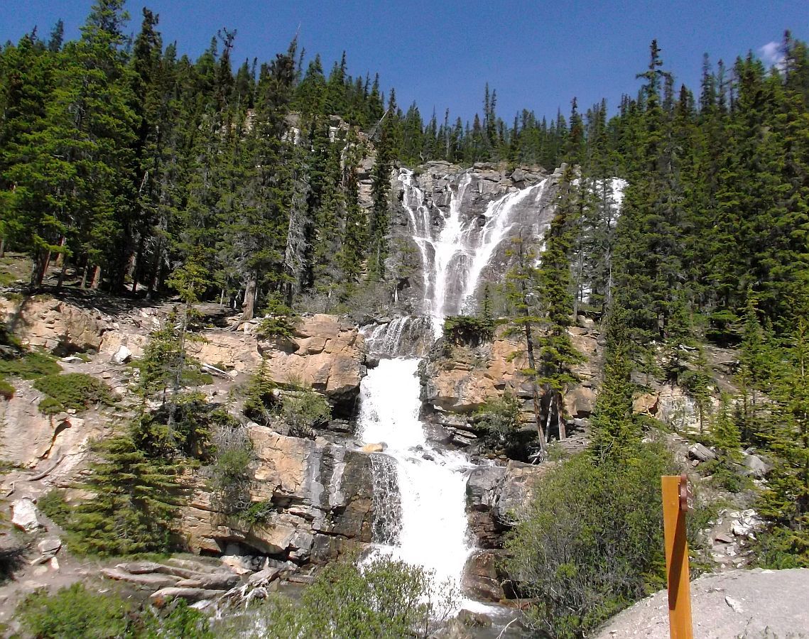
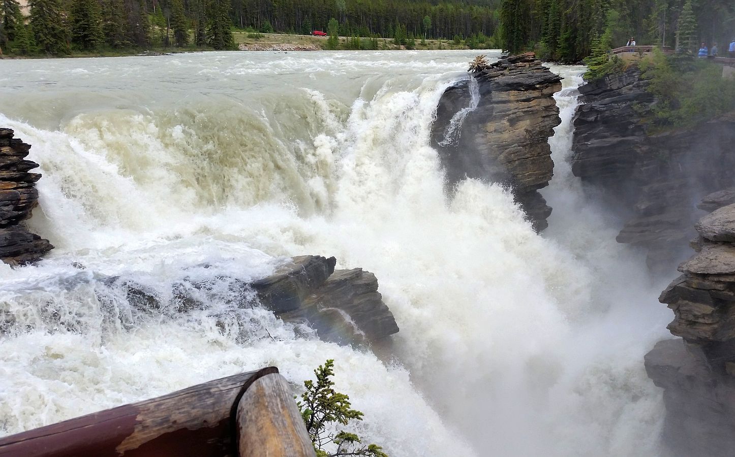
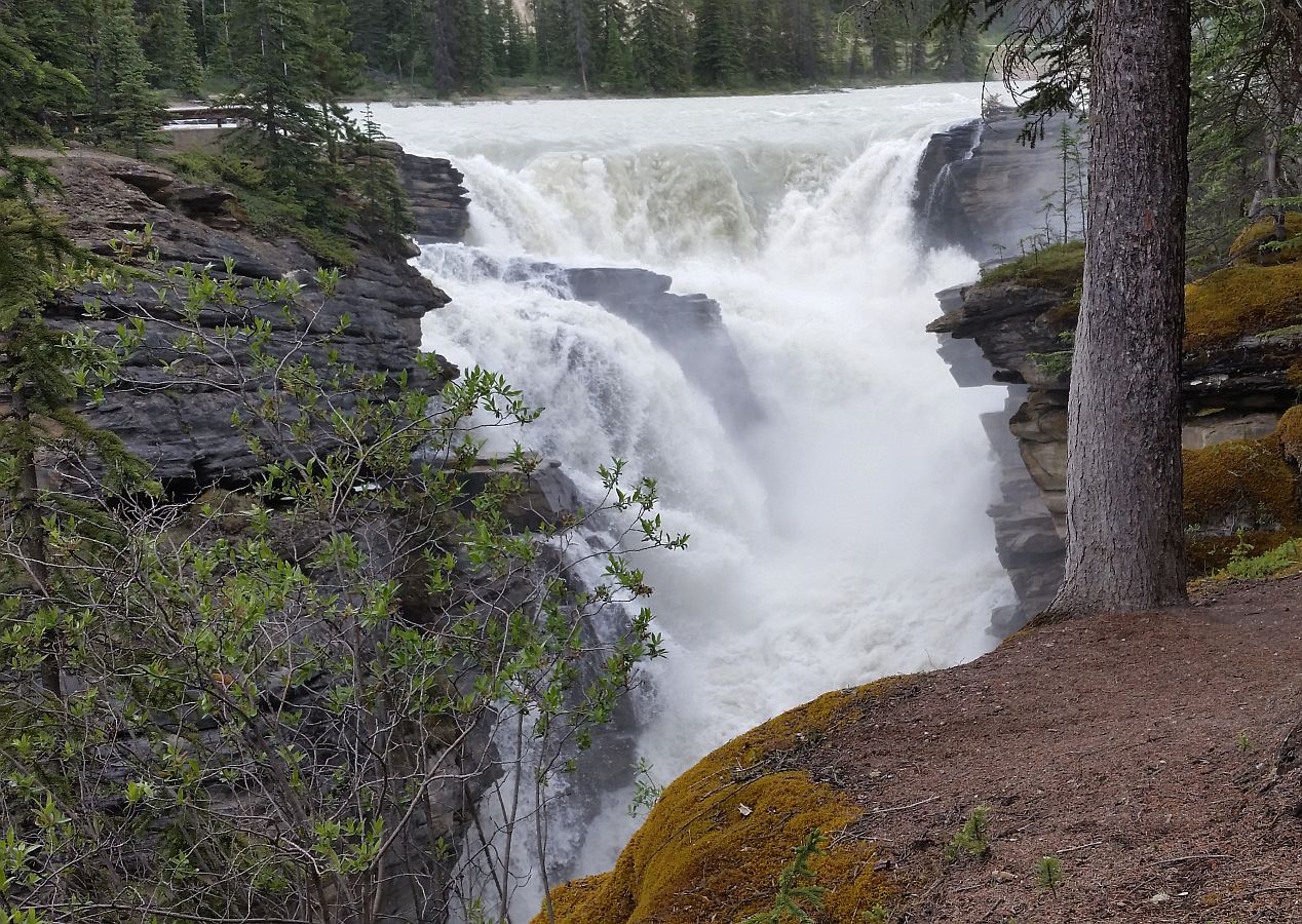
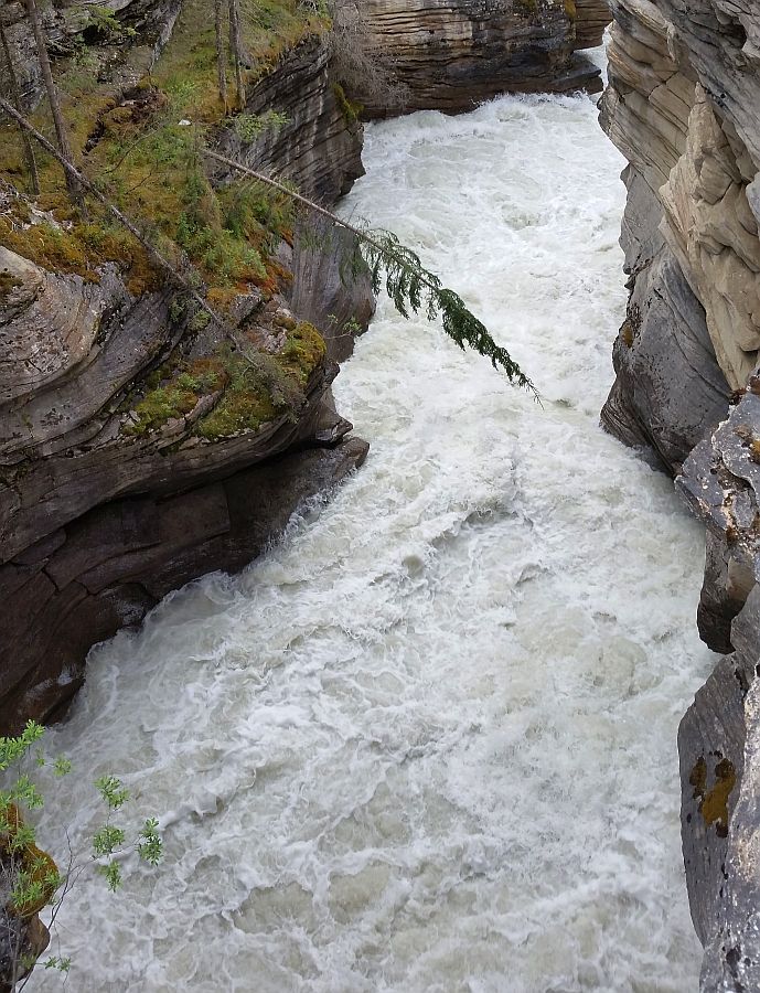
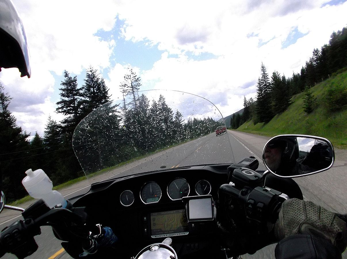
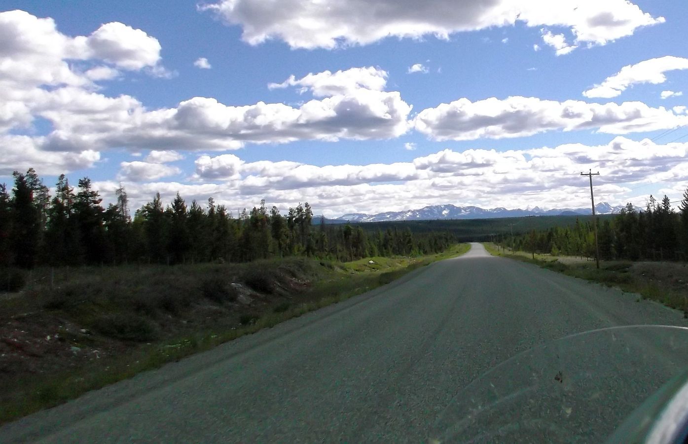
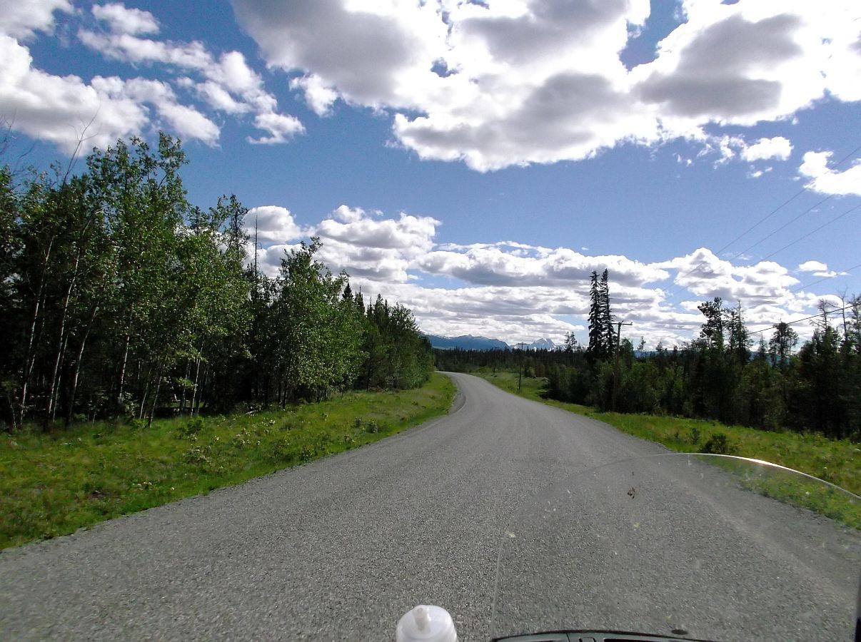
May I ask what cameras Mary used for her excellent photography?
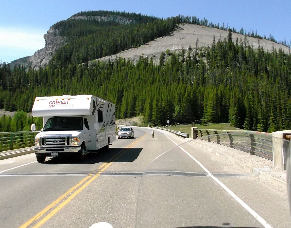
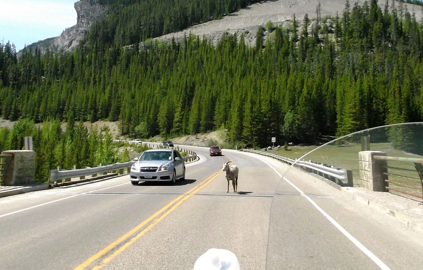
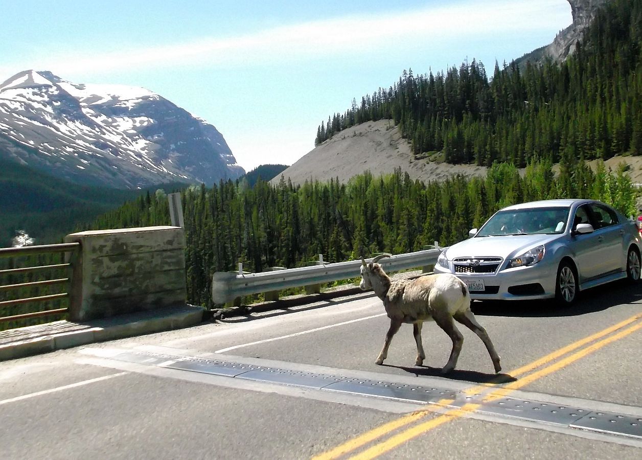
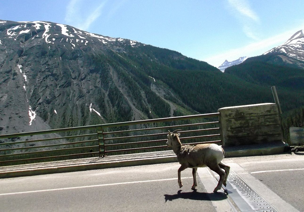
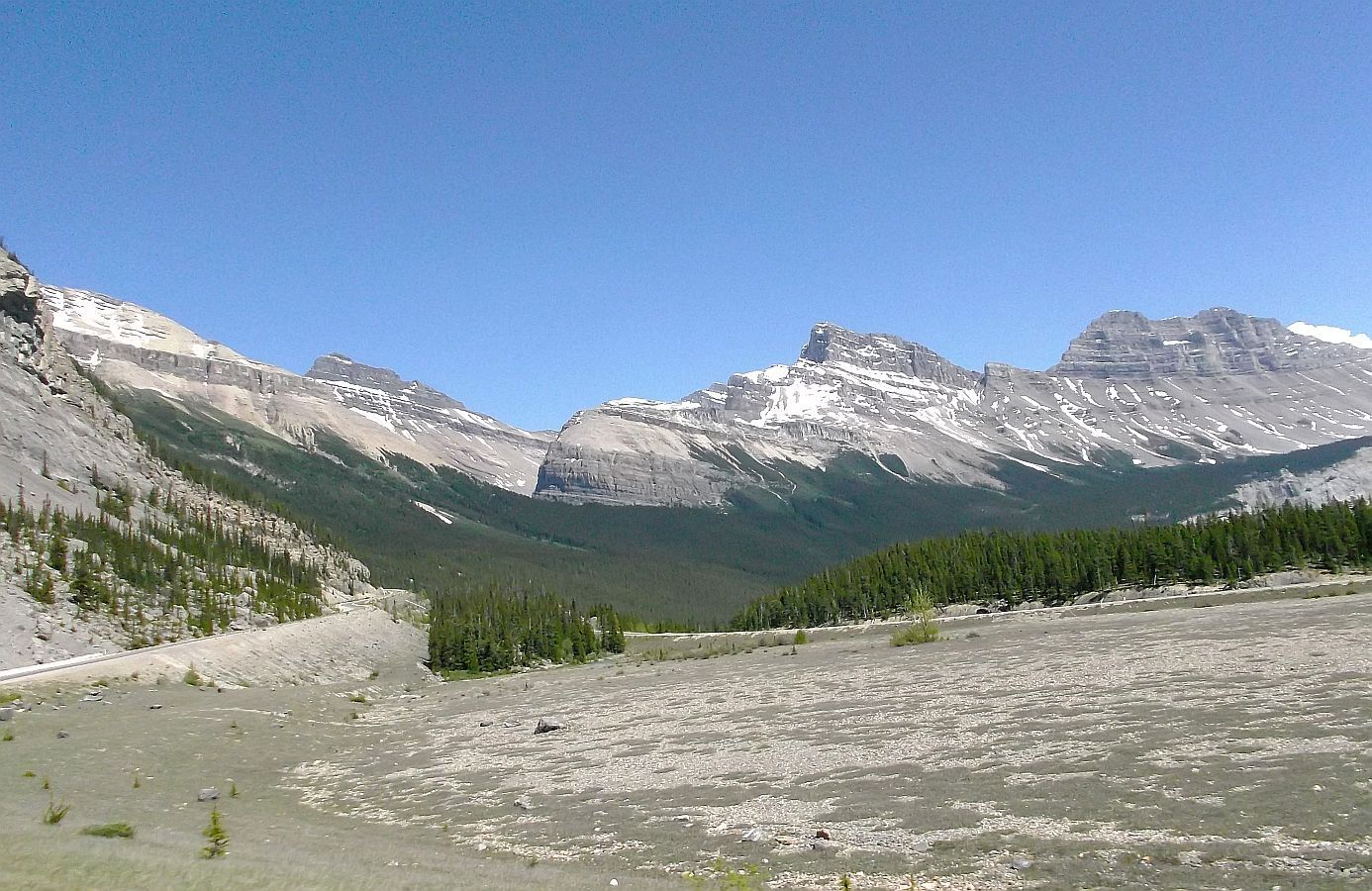
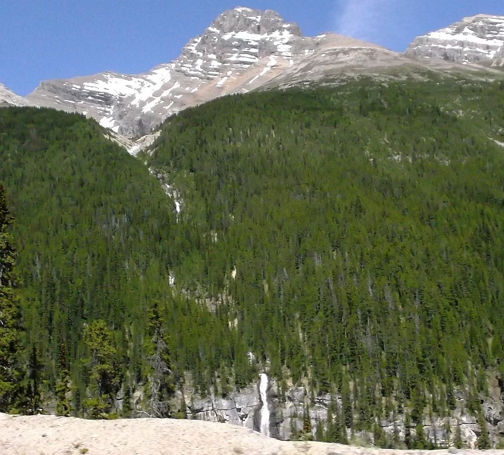
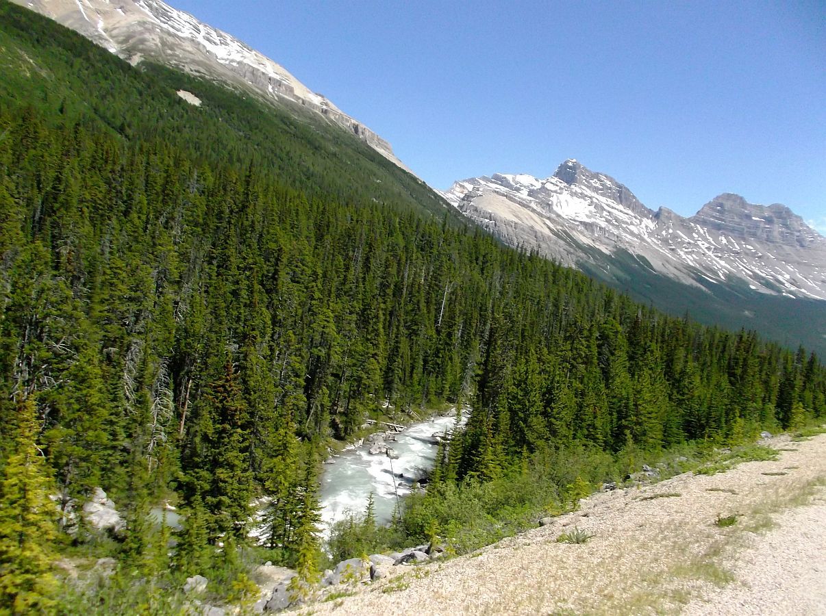
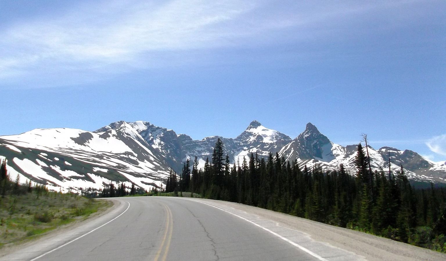
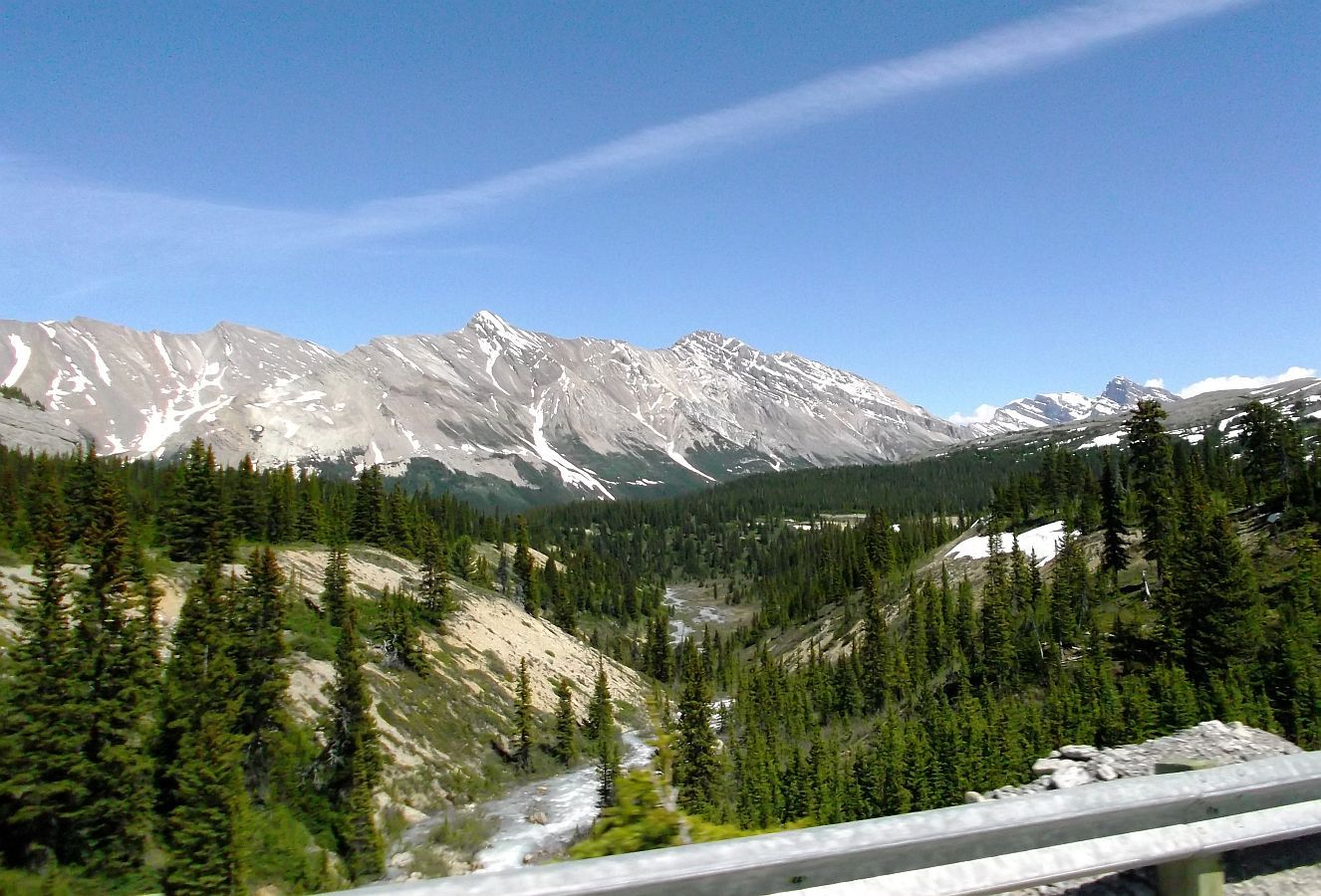
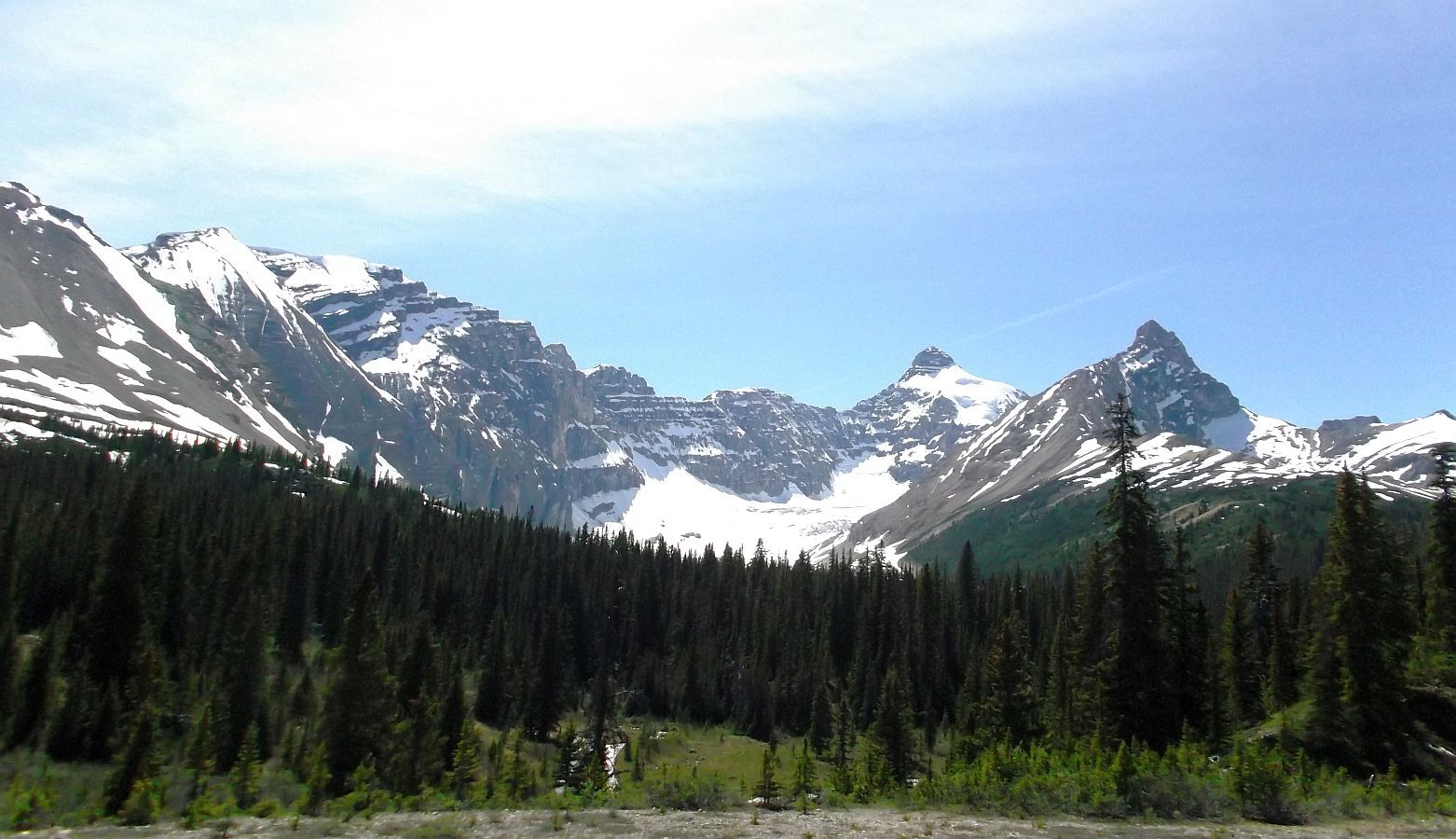
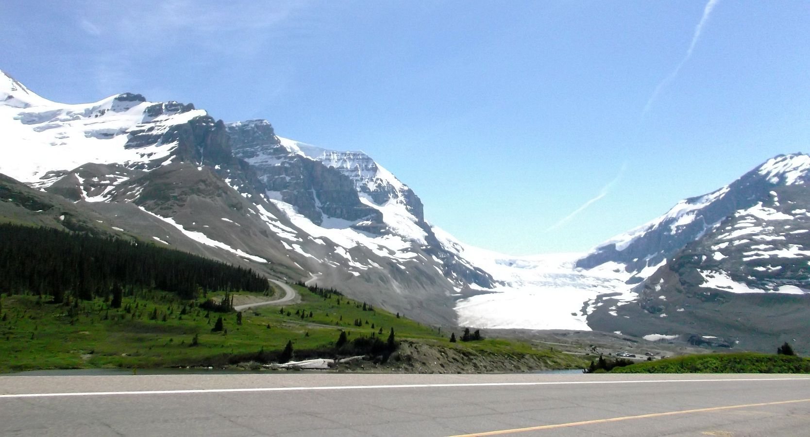
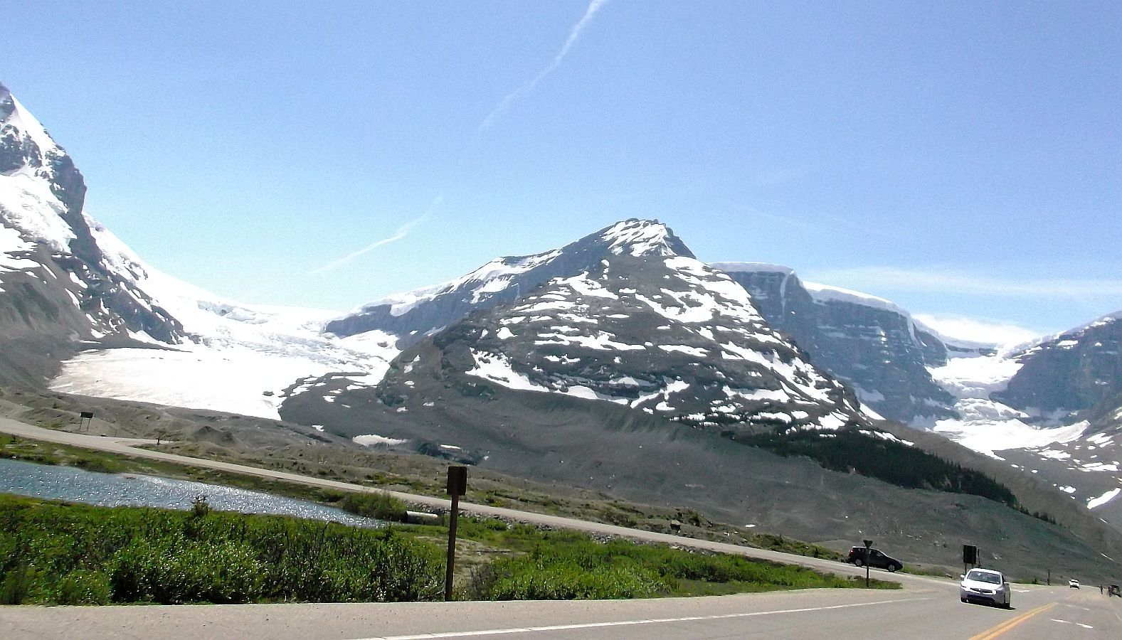
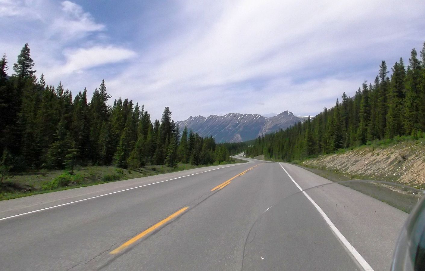
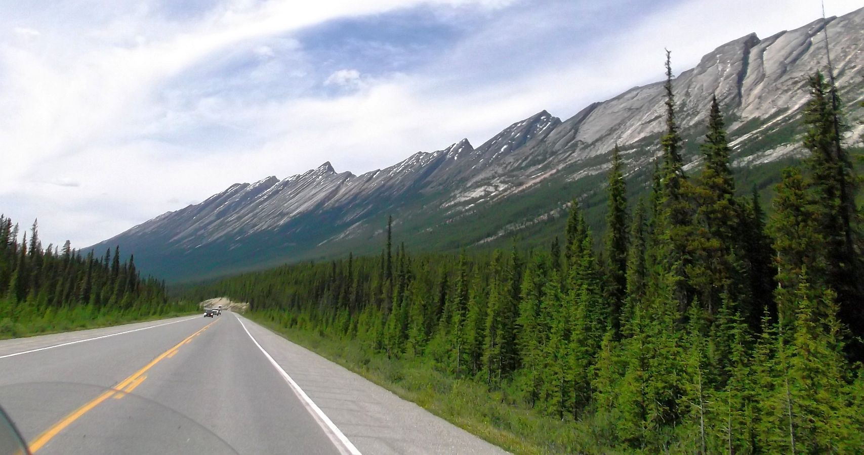
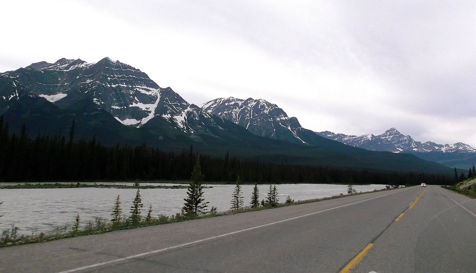
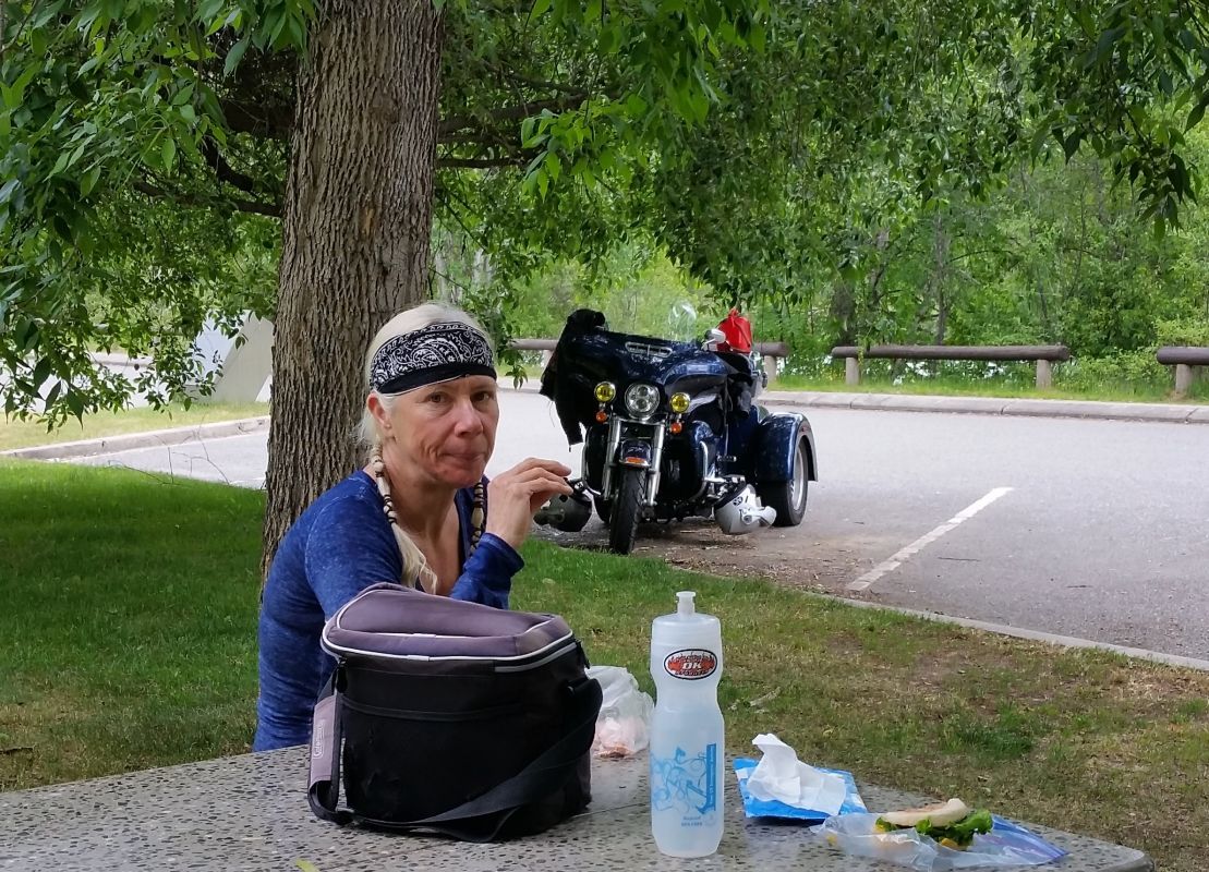
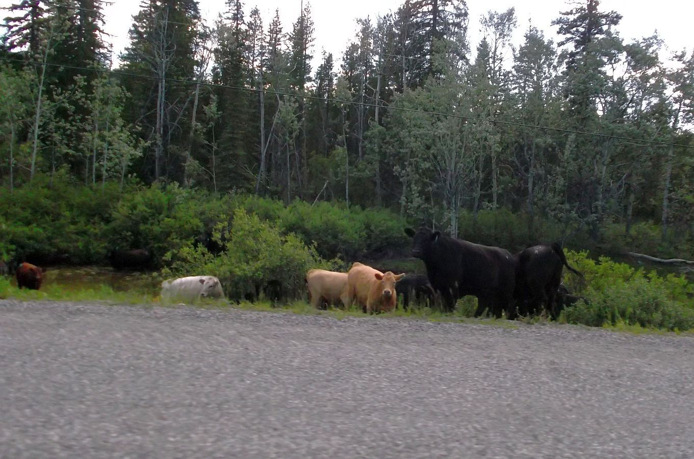
Yes, it is a Fuji JX665, with the shutter speed set at 400 for taking pics at speed. We paid $99 for it at Walmart. I use a free photo editor, IrfanView to crop & resize the pics.

A few of the pics are taken with a Galaxy S5.

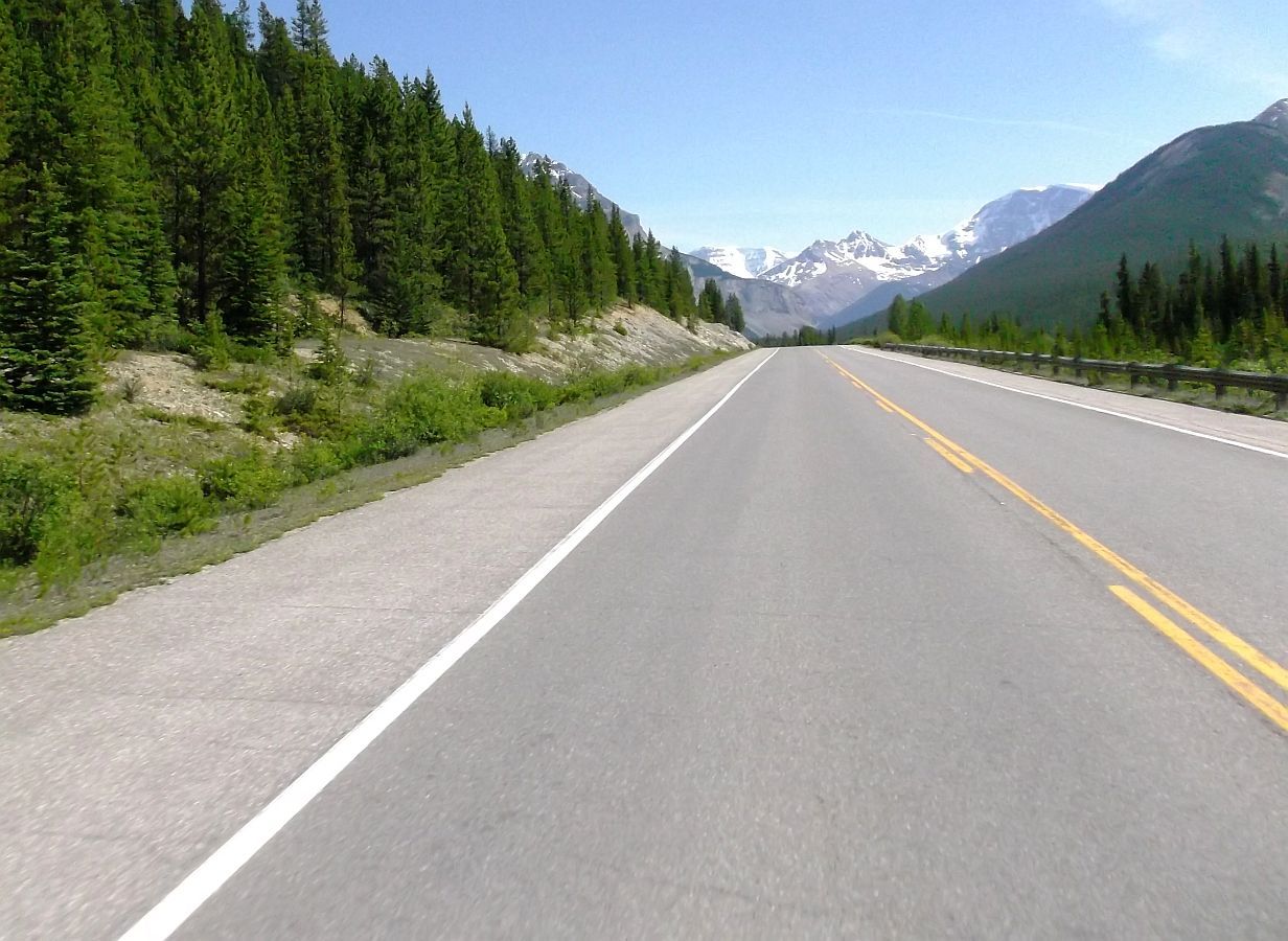
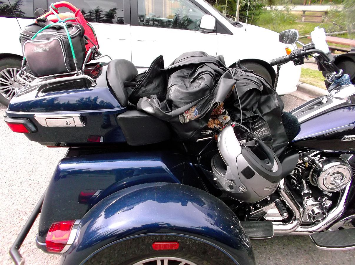
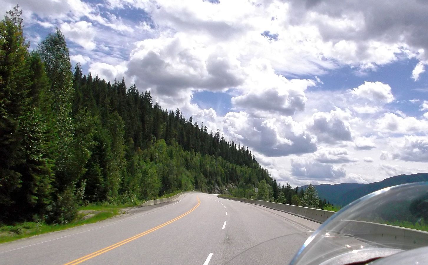
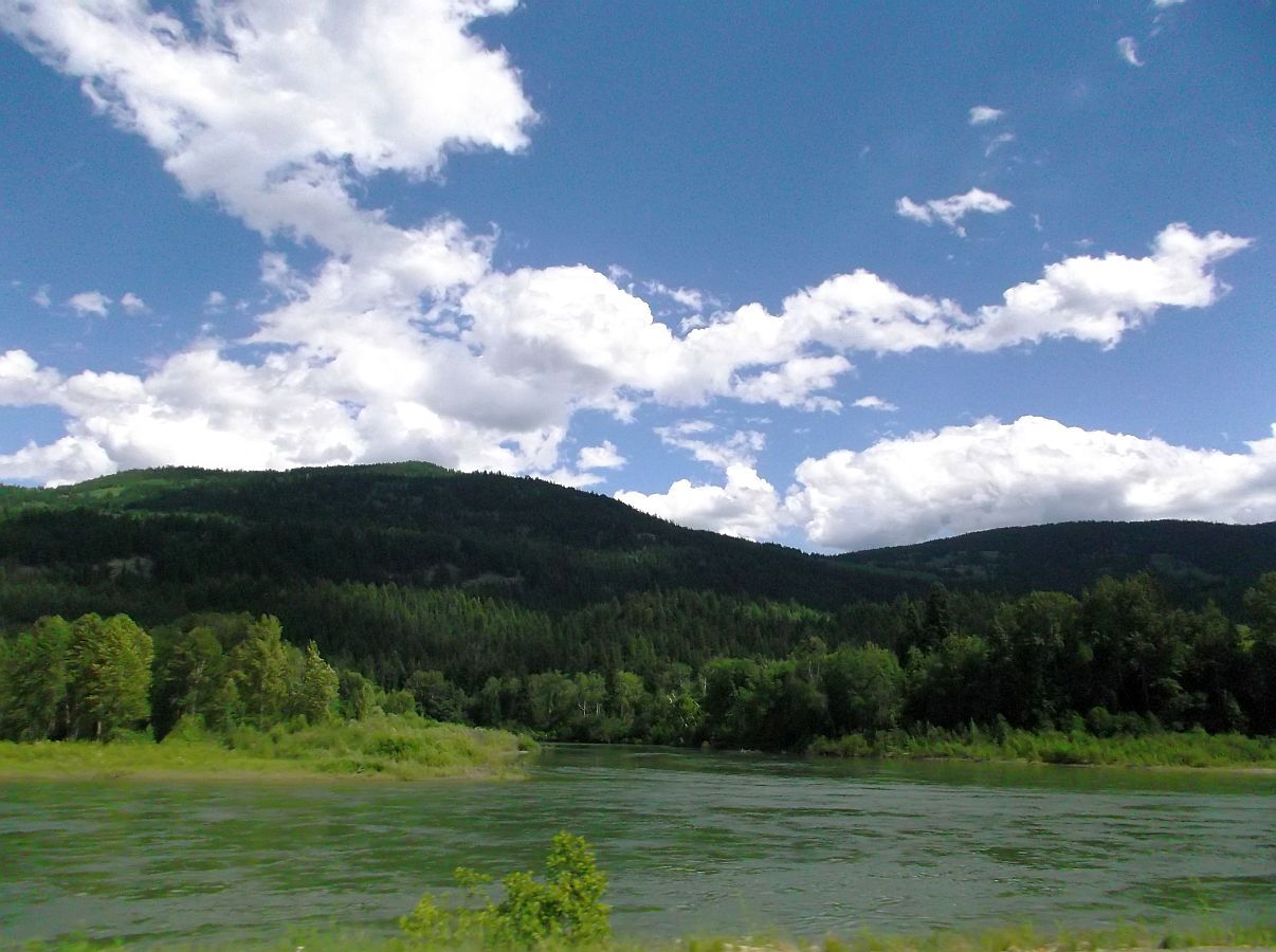
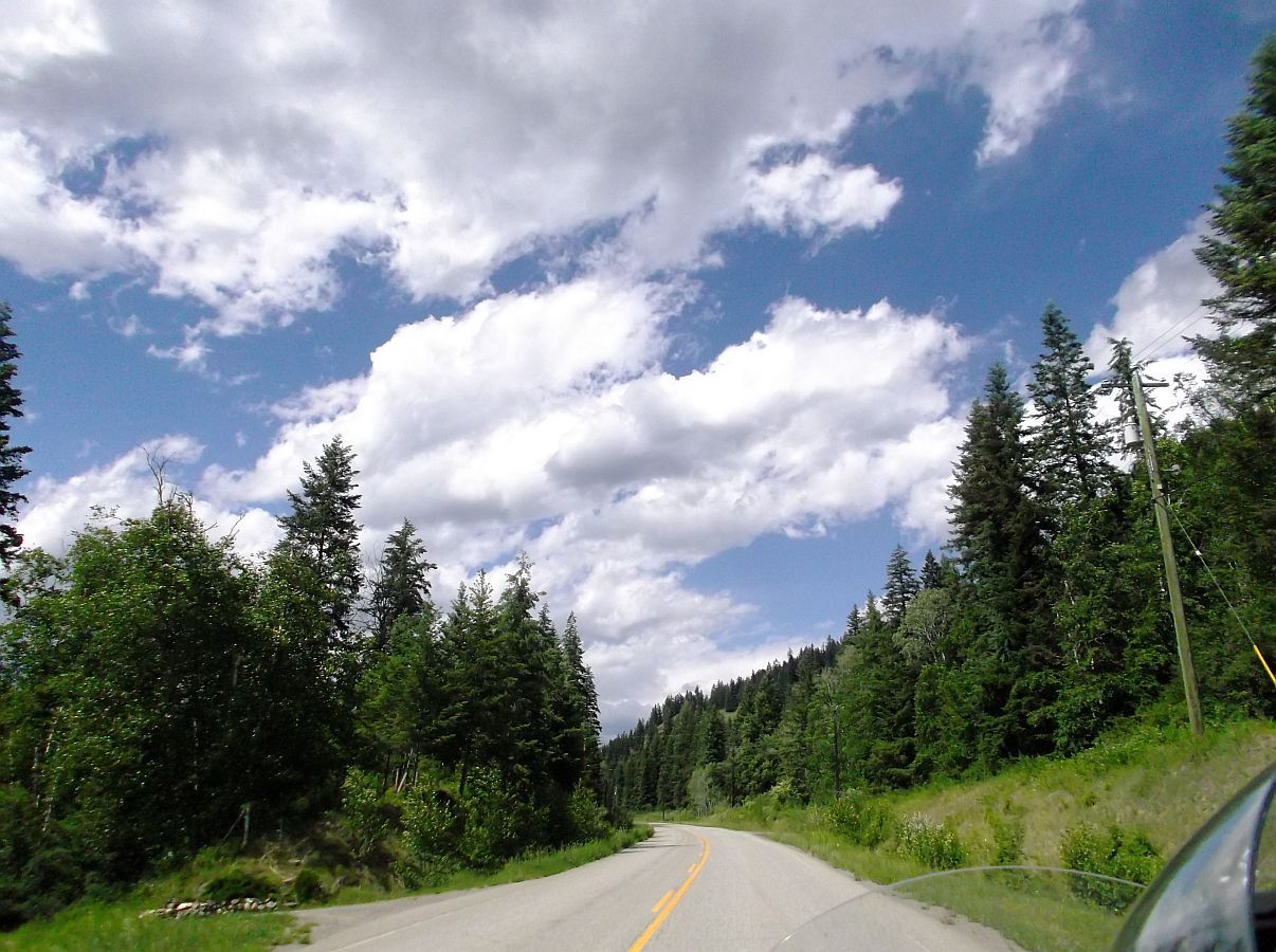
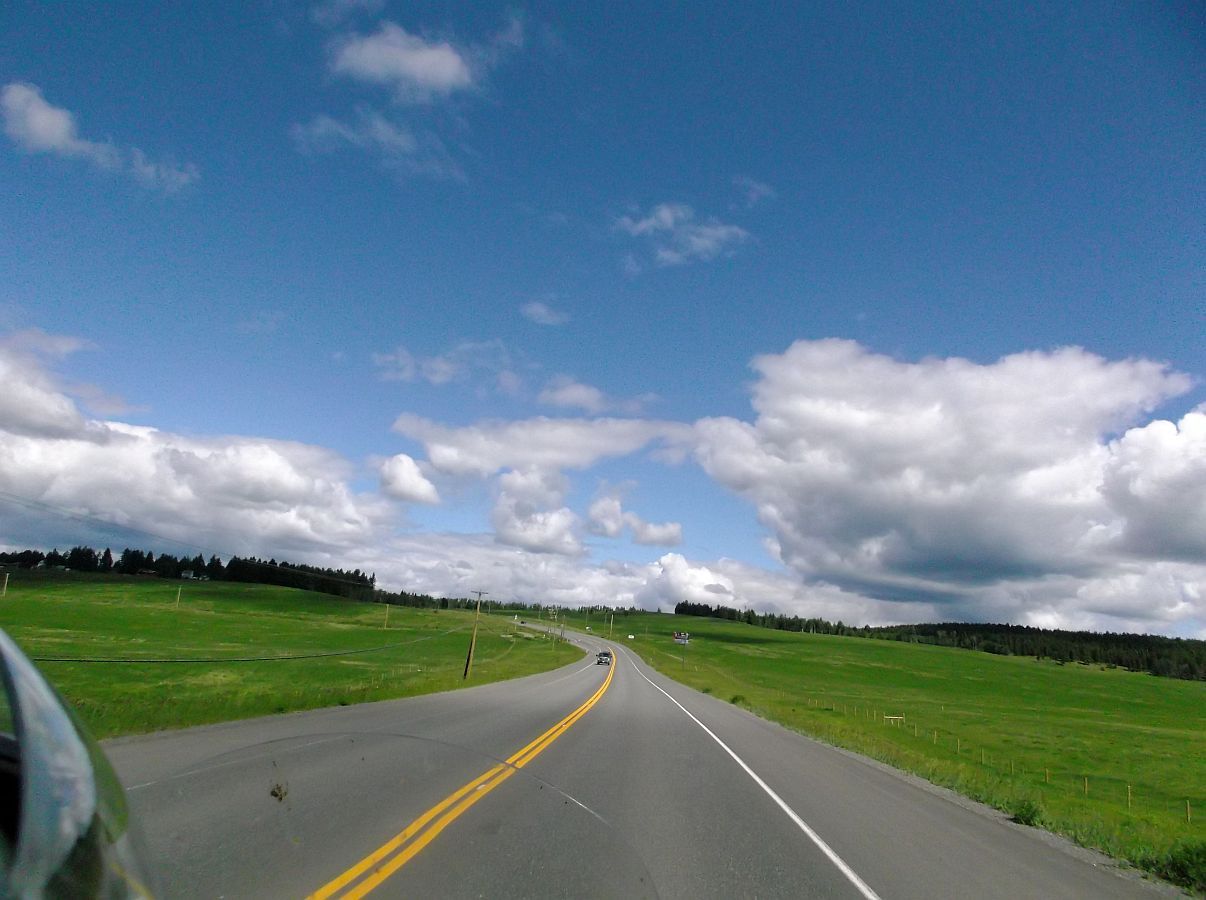
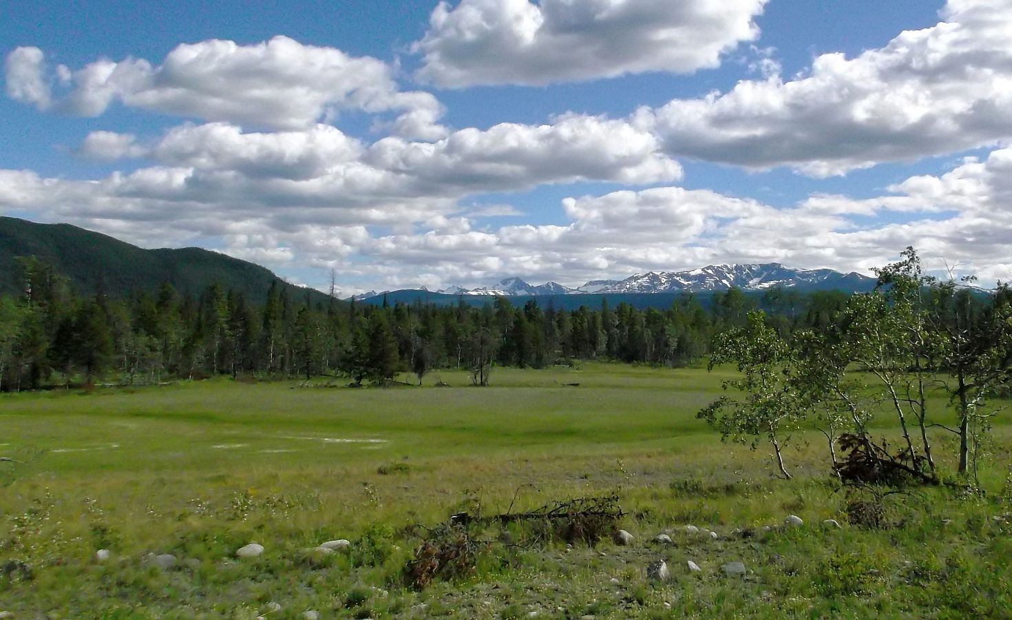
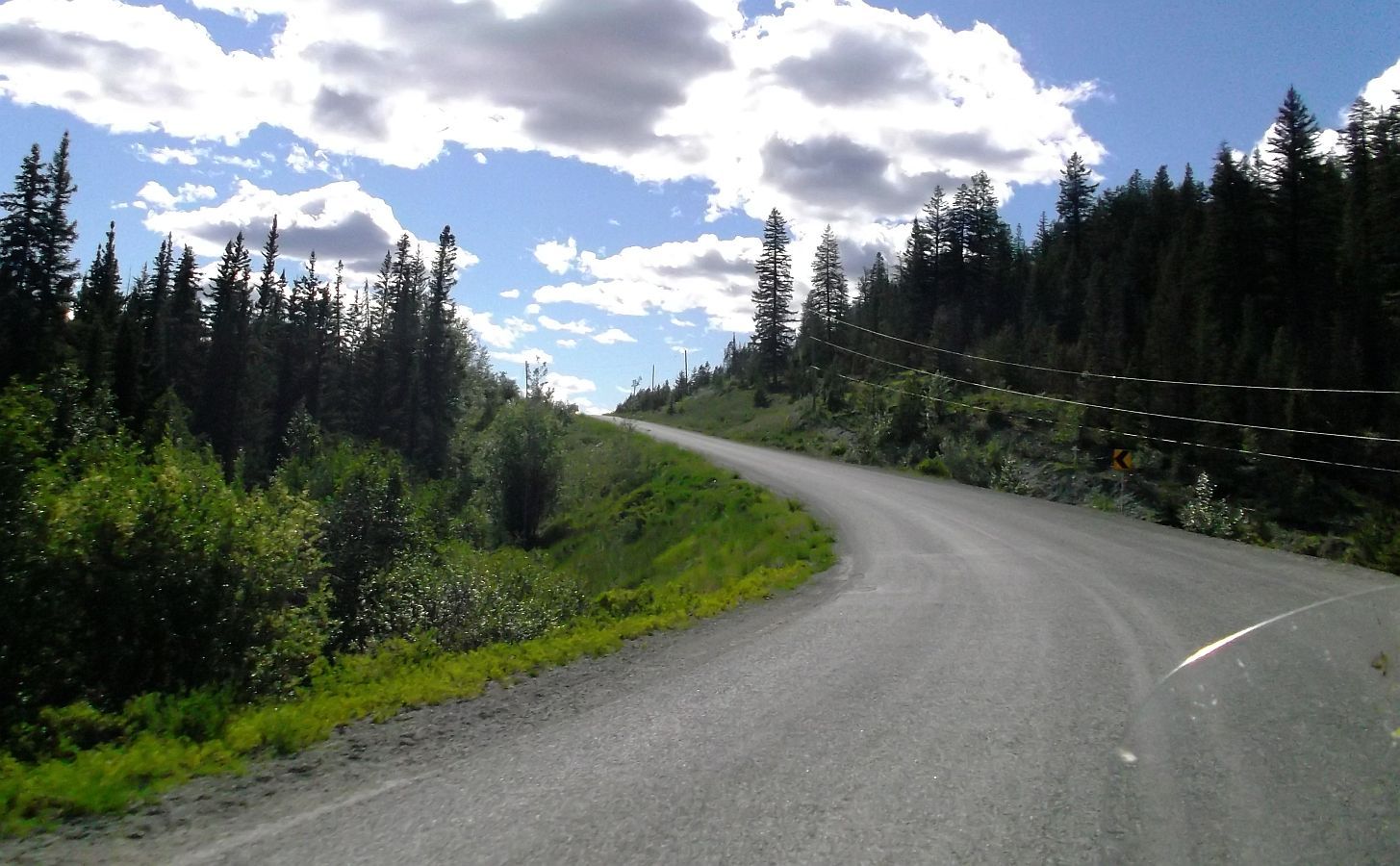
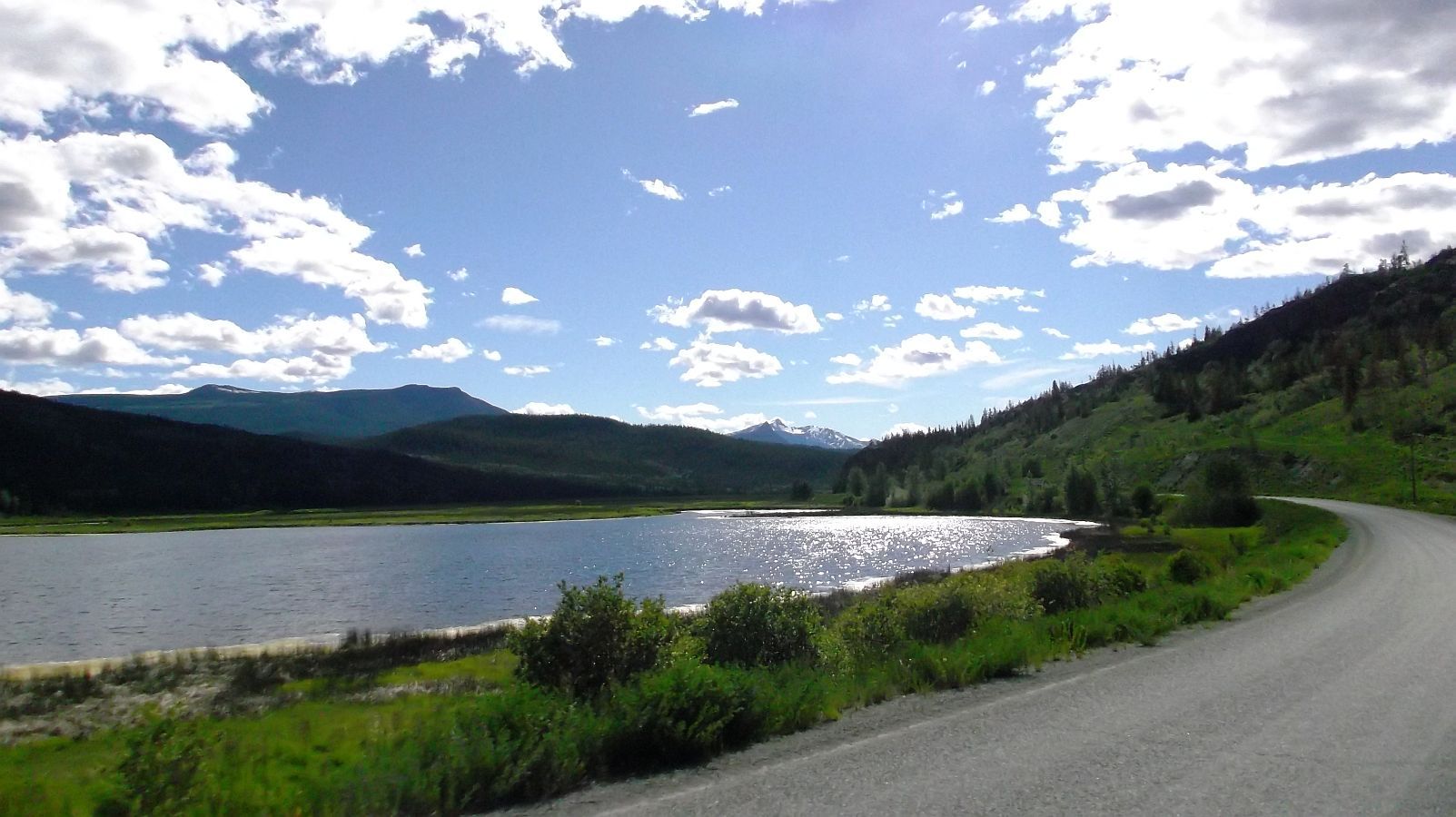
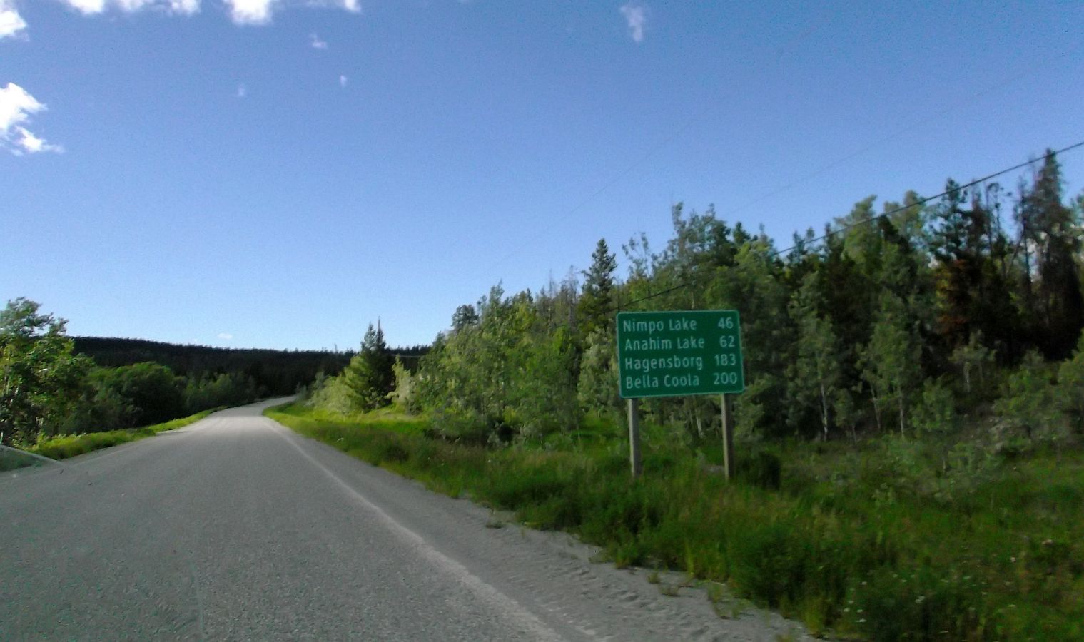
Kevin, this may be a dumb question, but what time of the year did you do this trip. It looks like the weather was awesome!!

Roger

Hi Roger...both in 2013 and 2015 we were on the Icefields Parkway in the middle of June. In 2013 it was in the high 30's-low 40's. In 2015 it was in the mid 70's.

You can see the 2013 Ride Report at the following thread. I do think the camera took better pics in the colder weather.

http://www.triketalk.com/forum/threa...ghlight=Alaska

Kevin
 
Day 22 of riding.

Here we are loading up outside our cabin in Jasper...

1%20packing%20up%20in%20Jasper_zpsl5vjunqz.jpg


...I load the trunk and Mary loads the Tour Pak and the TP rack. She's done and ready to roll. :)

2%20All%20packed%20up_zpslckpp1nj.jpg


Just a couple of km's outside of Jasper, ready for another 450 km's today.

3%202km%20out%20of%20Jasper_zps8ctzvntc.jpg


Since turning east to Banff we've been in Alberta, just a bit outside of Jasper we cross back into British Columbia.

4%20Back%20in%20BC_zpsemoakftk.jpg


The road follows along the shore of Moose Lake for a few miles...Stunning!

5%20Moose%20Lake_zpsvrtvlmuz.jpg


Another great day of riding, headed toward Mt. Robson...

6%20Amazing_zpsgf9pjusn.jpg


...Looking back at Mt. Robson.

7%20Just%20left%20Mt%20Robson_zps6qh1bh5y.jpg


We have not seen a whole lot of bikes on the road, it is nice to see a fellow traveler.

8%20Fellow%20Traveler_zps830oarqw.jpg


Just a bit later, we saw a bear...a BIG one. I did not have the video on. It was standing at the edge of the road on its hinds legs. I pulled it down from 65 to 0 very quickly. I think the downshifting scared the bear and Mary got this pic as it ran off into the woods.

I should have just pulled in the clutch and used brakes only...lesson learned.

9%20Bear_zpsumvceikh.jpg


We rode into some light rain for a while...really just a heavy drizzle.

13%20light%20rain_zpsb0a6smoh.jpg


More in next post.
 
Day 22 continued.

Coming out of the rain, fantastic views and road!

:)

12%20Fun%20Road%20in%20and%20out%20of%20rain_zpsyvfygctd.jpg


Eating some miles!

11%20making%20time_zpsuvqx90oq.jpg


We stopped in a little rest area and had our sandwiches.

10%20Lunch_zpsyhibsti8.jpg


We just love it up here (during the summer...not to sure how we'd like it in the winter :) )

14%20Out%20of%20the%20rain_zpsq4pjmpov.jpg


We're on the 24 now, it is a really fun road that comes into 100 Mile House from the back.

15%20on%20the%2024%20now_zps1m4wqcrr.jpg


Part of it is pretty tight and steep...we saw several sports cars on this road that were just moving out...probably double the speed limit.

About a 5 mile section of it had small gravel and sand on it, made for some nice drifting in the curves. :)

btw, I am super impressed with the rear tire on the front. It has MUCH more grip than the front tire, and it is lasting really well also. On this section, with the stock front tire, it would have been washing out at much slower speeds than I was going...and this one was sticking just fine.

For those that are interested, I was accelerating, uphill, and was able to drift the rear tires, and the front tire was holding just fine.

16%20sand%20gravel_zpsyjh4vbah.jpg


Looks like some rain up ahead, but....

17%20Not%20Rain_zpskqa493yh.jpg


...it wasn't. It was some pretty good size hail. Mary tucked the camera away, and tucked herself away, lol. I think it was the first time on this trip I actually closed my visor...was stinging my face a bit.

The water you see on the windshield is hail that stuck to the dirty surface and then melted.

It was also melting pretty much as quick as it hit the ground.

Here we are coming out of it.

19%20Coming%20out%20of%20hail_zpssqzrxxoq.jpg


The 24 does not have any gas stations right on the road...there were a few signs to take a side road to a gas station (that may or may not be open)...rather than do that I just dumped in the 2 gallons we'd been carrying for a while.

18%20gassing%20up_zps9mykxfdo.jpg


Shadow pic right before getting to 100 Mile House.

20%20Shadow%20Pic%20before%20100%20mile%20house_zpsvi3fvhnc.jpg


I am really pleased with how the TG is running.

*We were riding into a strong headwind all day, running between 55 & 70 mph, mostly around 65 mph, and we still got 35 mpg.

Kevin
 
Day 23 of Riding.

So, from the day we decided to go up and see some more of BC, I had asked Mary if there was anything in particular that was a "must see" for her. She did some research (Google) and said she wanted to stay at Nimpo Lake and that she wanted to go to Bella Coola.

Bella Coola is the end of the road in western Canada...can't go any further...and the road to get there is one of the most dangerous roads there is.

After seeing some videos of the road I had some second thoughts about agreeing to go, but then thought that if other bikes, cars, & trucks could travel it, we surely could. More on that later.

Today is the day we start that direction!

While packing up to leave 100 Mile House it started hailing...not much at first...

1%20Hail_zpsarjyzhjz.jpg


...but then for about 5 minutes it came down really hard (no pics, we were in the room), and then as quickly as it started, it stopped.

We finished packing up and are on our way to Nimpo Lake! It is cold (low 30's) but we have our heated gear keeping us warm.

2%20Leaving%20100%20Mile%20House_zpsc3ecoalq.jpg


We are not 20 minutes down the road and it starts getting real cold. I asked Mary to turn my jacket up (warmer) and she tells me it's not working, neither is hers.

Now, a few years ago I would have never thought I would use heated gear. Now that we've been using it, the idea of layering up to be not as cold has no appeal. I like being toasty warm, even if I'm running 70 mph in 30* temps.

So I pulled over and we tried our back up controller. It's not working...ok, so I thought it was a fuse. Removed the seat, fuse looks good, but I switch it out anyway.

Still no go.

Long story short, it ends up that the ground terminal at the battery for the heated gear was broken.

Once I saw that was the problem, it was a quick fix...especially since HD new can-bus system allows super fast access to the battery.

Pic of side of the road repair.

3%20Fixing%20broken%20wire%20connector_zpssikhkk7u  .jpg


The gear we're using, and the wiring, controllers, all of it has about 80,000 miles on it. Some of it very hard miles, going thru the Yukon and on the Haul road up to the Arctic Circle. So it was no big surprise to find the ground wires at the battery fatigued and broken.

Below is a pic Mary took of the controller working again. She was a very happy camper!

:)

4%20Working%20again_zps3eb6fsnh.jpg


Here we are making the turn to the west, to the remote Bella Coola.

5%20West%20toward%20Bella%20Coola_zpssfee87ud.jpg


It was a fun, long, winding road down to Fraser River.

6%20Long%20winding%20road_zpsk2vmf280.jpg


Once at the bottom, and crossing the bridge everything starts to take on a bit of a different feel.

7%20Fraser%20River_zpskhcfbyjx.jpg


Mary taking an overhead/rearview shot of where we came from.

8%20Looking%20back%20Fraser%20River_zps6rmivjnv.jp  g


Going up the other side is a long series of seriously fun switchbacks!

9%20Series%20of%20switchbacks_zpsoapjc07s.jpg


Once at the top of the mountain, everything is fairly flat, for as far as we could see.

*From here to Bella Coola is dubbed "The Long Road" in my mind.

10%20Long%20Road_zpsoyopdax0.jpg


More in next post.
 
Day 23 continued.

For the first 40 miles or so we see quite a few logging trucks (yes, that's a 30 wheeler, quite a bit larger than an 18 wheeler)...I'm always keeping a sharp look-out for stuff falling off. Even a small piece can really hurt!

11%20Lots%20of%20logging_zpsukkprogf.jpg


The GPS shows only one gas station between Williams Lake and Nimpo Lake. That is a 200 mile stretch. I think we can do the whole thing easily with the 6 gallons in the tank, and certainly with the extra 2 gallons I'm carrying. But, I have learned to be safe...who knows, they may be out of gas at Nimpo Lake. So we stop at Lee's Corner.

Sure am glad we did.

12%20Lees%20Corner_zpsrngpc8zk.jpg


After filling up with the 87 octane we went inside.

On the ceiling...

13%20Lees%20Corner%20Ceiling%20Map_zpswmbu5a4j.jpg


...Is a hand-drawn map of the area. Found out Lee's Corner was first established in 1811...

14%20Lees%20Corner%20est%20in%201811_zpslrjczgw6.jpg


You can see everything from 100 Mile House, through Williams Lake, Lee's Corner, Nimpo Lake, Bella Coola, and even further west (where there are no roads).

15%20Lees%20Corner%20Map_zpshbruejga.jpg


100 Mile House is in the bottom right area of the map. The whole place is filled with History, the folks are in absolutely no hurry whatsoever, and I get a bit more of that "different" feel.

16%20100%20mile%20to%20Williams%20to%20Lees%20Corner_zpsrpcuezox.jpg


A house or barn? right outside of Lee's Corner.

17%20Right%20Past%20Lees%20Corner_zpssxxlk3if.jpg


Once we get a few miles past Lee's Corner, it gets downright desolate...

18%20Long%20Road_zpsgvpqhso2.jpg


...the feeling that was sorta there earlier, is very strong now. There is no traffic, no sign of human life, and we see no animal life either...not saying it wasn't there, but it was a very eerie feeling for about 100 miles.

19%20Long%20Road_zpslg3o3l9g.jpg


The "Long Road", some turns here and there, a few little hills, but we are up high on a huge plateau.

20%20Long%20Road_zpspwfmsuvz.jpg


Day 23 to be continued soon.

Kevin
 
Day 23 continued.

"The Long Road"...

21%20Long%20road_zpshicpubjf.jpg


...is just that. Still a ways to go...

22%20Still%20a%20ways%20to%20go_zpstqx8l1ff.jpg


...it's hard to put my finger on it. I love to ride, the worst day riding is better than the best day in the office...

23%20Long%20Road_zpsbokp9stk.jpg


...but there is something different about this road. Don't know what else to say, other than looking at the pictures, it looks fun and good scenery, but what I see in the pics does not match up with the feeling while riding it.

24%20New%20road_zps49qkxxo6.jpg


There are lakes and ponds along the way...

25%20Lakes_zpspngxklu0.jpg


...as well as meadows.

26%20Prarie_zpsyjjonant.jpg


we are getting into the foothills of the mountains we have been watching for the last few hours.

27%20Foothills_zpsr8ahm0qm.jpg


As we get near the one "town" between Lee's Corner and Nimpo Lake we start seeing cattle here and there...no fences, or in the few places there are fences, the gates are open.

28%20Cattle_zpss0uuhsmj.jpg


A small lake, and the mountains that we are headed to seem within reach now.

29%20Closer_zpsi4nr28xm.jpg


The road changed awhile back...rougher surface, narrower, and no center line, and as we get close to Nimpo Lake...

30%20Starting%20to%20climb%20more_zpsrwvg8wru.jpg


More in next post.
 
Day 23 Continued.

...we are climbing at a pretty good pace...

31%20pretty%20steep_zpsjsar45v0.jpg


...and seeing more cattle roaming the roads and along the sides. The road has widened up a bit also.

32%20Road%20Widens%20Cattle%20still%20everywhere_z  psd4q9nhel.jpg


There are a few homes outside of "downtown" Nimpo.

33%20Homes%20Outside%20Nimpo%20Lake_zps2xxzphlz.jp  g


Here is the "town" of Nimpo Lake...the one and only store and gas station! Also where we got the key to the cabin we had rented ahead of time. 87 Octane only. There are a couple of gas stations in Bella Coola, but they regularly run out. So I filled up the tank and the gas can. 8 gallons should easily get us there and back.

34%20The%20Store%20and%20Gas_zps05slxfwc.jpg


At the cabin, TG is already unpacked.

35%20At%20Cabin%20unpacked_zpshghgmiya.jpg


View of the Lake from the cabin porch.

40%20From%20Cabin%20Porch_zpsyioibemv.jpg


Inside the cabin. Triple decker bunk beds.

36%20Inside%20Cabin_zpspasmjtcg.jpg


After we were unpacked and had a snack, we walked down to the lake, out onto the dock and looked around a bit.

Big lake, 7 miles long and about a mile across.

37%20On%20dock_zpswscwttrp.jpg


Sitting on a bench, enjoying the view...

39%20Unpacked%20and%20enjoying%20view_zpsfrsbucxg. jpg


...and thinking about the ride to Bella Coola tomorrow. In case you did not watch the video in the first post, or even if you did, below is another one to give you an idea of what I'm thinking about. lol Bella Coola is the end of the road, and it is a road that was built privately and looks like it will be a bit of a challenge. :)


Kevin
 

Welcome to the Trike Talk Community

Join our vibrant online community dedicated to all things Trikes! Whether you're a seasoned rider or just starting out, this is the place to share experiences, tips, and stories about your three-wheeled adventures. Explore modifications, maintenance advice, and rides, all while connecting with fellow trike enthusiasts from around the globe

Forum statistics

Threads
55,552
Messages
902,149
Members
22,616
Latest member
Astro5150

Trike Talk Community

Welcome to a community dedicated to the most diverse and fastest growing powersports segment, Motorcycle Trikes. Come join the discussion about the best makes and models, popular modifications and proven performance hacks, trike touring and travel, maintenance, meetups and more!

Register Already a member? Login

Forum statistics

Threads
55,552
Messages
902,149
Members
22,616
Latest member
Astro5150
 photo 260e2760-d89e-45b2-8675-2bc26fb3d465.jpg

 photo Trike-Talk-150-x-200.gif

 photo DK Trike Talk Right side banner 19.jpg

Merziere Reverser

 photo 9796095c-0d4b-4a9b-88ed-efe4c498d084.png
 photo f9866e4e-75c5-471a-86f5-5e72a446ecc3.png
Back
Top